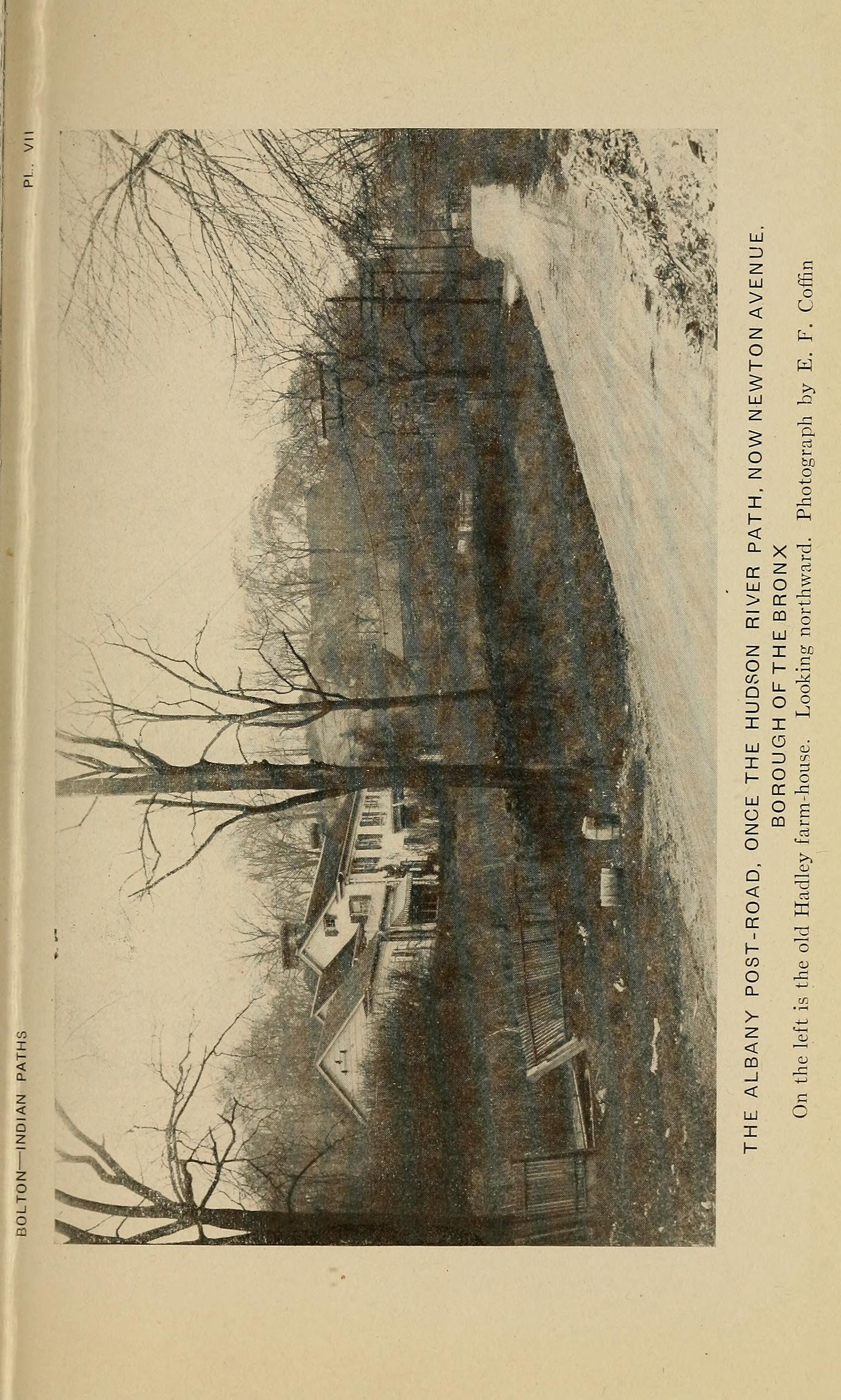
Drive north from Croton-on-Hudson along Route 9 and you come to Peekskill. Just east of the city, where the land begins rising toward the Hudson Highlands, the road enters a vast expanse of forested hills that goes on for miles. This is Blue Mountain Reservation — 1,538 acres of mature hardwood forest, fishing ponds, mountain trails, and the ruins of a New Deal public works camp. It is Westchester County's second-largest park. Only Ward Pound Ridge Reservation is bigger.
Blue Mountain is the kind of place where history accumulates in layers. Scrape back the top, and you find mountain biking trails cut in the 1990s. Scrape back further, and you find the masonry comfort stations and trail lodge built by Civilian Conservation Corps workers in the 1930s. Further still, and you find the ice ponds dug by the Loundsbury family in the late 19th century — back when Westchester farmers sold ice to New York City as a seasonal cash crop. Further still, and you reach the land grant of Van Cortlandt Manor in 1677. And at the very bottom, 7,000 years of Kitchawank presence on hills that were glacially sculpted 26,000 years ago during the last Ice Age.
Each layer left something behind.
The Mountain and Its Names
The main peak rises to approximately 680 feet above sea level. A second summit — called Mt. Spitzenberg — reaches about 560 feet. Neither is particularly tall by mountain standards, but both rise abruptly from a landscape that is otherwise relatively flat, which is why they are visible from a great distance.
Blue Mountain got its name the way most American mountains called "Blue" got theirs: from the color they appear to take when seen from a distance through haze. Mariners on the Hudson River coming upstream from New York City would see the mountain rising on the east side of the river, and in the warm humid air it would look distinctly blue. Early map makers wrote down what they saw.
Mt. Spitzenberg is more interesting. The name is Dutch/German, from Spitz (pointed) + Berg (mountain), literally "pointed peak." It is the same root word that gave the Spitzenburg apple its name — one of the oldest American heirloom apple varieties, originally developed in the Hudson Valley by Dutch settlers in the late 1700s. The apple and the mountain both carry a trace of the Hudson Valley's Dutch-German colonial heritage, preserved in a single word that has not been in common use for 200 years.
The Kitchawank and the Deed of 1677
Before European contact, the land that became Blue Mountain Reservation was part of Kitchawank hunting territory. The Kitchawank were a Wappinger-affiliated band of Algonquian-speaking people who built the large fortified village of Navish at Croton Point, eight miles south. Oyster shell middens at Navish have been dated to approximately 7,000 years ago — evidence that the people who lived there had continuous access to the Hudson River's shellfish resources for more than six millennia before Europeans arrived.
Blue Mountain itself was not a village site, but a hunting and gathering ground. The Kitchawank moved seasonally, following game along ridgelines and drainages. The peaks of Blue Mountain and Spitzenberg were landmarks on longer trails connecting the Hudson shore to interior territories.
In 1677, a Kitchawank sachem — whose name is recorded in the colonial deed — sold the land to Stephanus Van Cortlandt, a Dutch merchant who had already begun assembling what would become one of the largest private landholdings in the British colony of New York. Twenty years later, in 1697, the British Crown formalized Van Cortlandt's holdings as a manor — Van Cortlandt Manor — granting him feudal-style rights over what would eventually amount to 86,000 acres of the northern Hudson Valley.
The 1677 deed was one of many coerced transactions in which the Kitchawank and other Wappinger groups lost their land. The sachems who signed them often did not understand that European concepts of property ownership meant permanent alienation; they thought they were granting use rights. The result, across the late 17th century, was that the Kitchawank were effectively dispossessed within a generation.
Blue Mountain stayed in the Van Cortlandt patent for the next two centuries.
The Loundsbury Years
By the late 19th century, the land on and around Blue Mountain was owned by the Loundsbury family. The Loundsburys ran a diversified business — sand, gravel, cement, brick, and general contracting — that dug raw materials out of the Blue Mountain property. The main gravel pit was located where the current beach parking lot now sits.
But the most interesting thing they did with the land was dig ice ponds. In the decades before mechanical refrigeration, winter ice was a major seasonal commodity in the Lower Hudson Valley. Farmers and entrepreneurs dug ponds specifically to freeze over in winter. They cut the ice into blocks with horse-drawn saws, stored it in insulated ice houses packed with sawdust, and sold it through the summer to New York City iceboxes and breweries.
The Loundsbury family created Loundsbury Pond and New Pond as working ice ponds, probably in the 1880s-1890s. Both ponds still exist on the property today — they are among the park's most-photographed features, especially in fall when the foliage reflects on the still water. Few visitors realize they were originally built as commercial freezers.
The ice trade died suddenly in the 1920s and 1930s, when electric refrigeration became affordable for urban households. Farmers across the Lower Hudson Valley suddenly had flooded pits on their property with no commercial use. Many were filled in. The Loundsbury ponds survived because the land was about to become a public park.
Becoming a County Park: 1926
The Westchester County Park System was established in 1922, under the leadership of park commissioners who wanted to build a green-space network for a rapidly suburbanizing county. The commissioners looked for large tracts of woodland that could be preserved before development reached them. Blue Mountain was exactly the kind of property they wanted: a contiguous 1,500+ acre block, minimally developed, with a dramatic ridgeline and two natural-looking ponds.
In 1926, Westchester County purchased the property from the Loundsbury family. The price is not well-documented, but the county's aggressive land acquisition strategy in the 1920s meant that many large estate holdings were sold at reasonable prices before the Depression depressed real estate values further.
Blue Mountain Reservation became one of the founding parks of the Westchester County Park System. It was the largest park in the system when acquired and remained so until Ward Pound Ridge Reservation was added later.
The CCC Camps
The most significant development of Blue Mountain Reservation happened in the 1930s, during the Great Depression. President Franklin D. Roosevelt's Civilian Conservation Corps (CCC) established not one but two successive camps on the property. The first was Company 256, designated Camp SP-5 (State Park Camp #5, New York), established on October 24, 1933. Camp records locate it "3 miles west of Peekskill" — the Blue Mountain site. In June 1937, Company 256 was succeeded by Company 2208, designated Camp SP-8. Between them, the two companies provided Blue Mountain with more than seven years of CCC labor.
Young men, mostly from New York City, were bused out to the reservation, housed in barracks, fed three meals a day, and paid $30 per month (with $25 of that sent home to their families) in exchange for hard physical labor on conservation projects.
The Blue Mountain CCC crews built most of the infrastructure that visitors see today. They cut the network of woods roads that still serves as the park's main trail system. They constructed the Trail Lodge, a stone and timber structure that housed park rangers and served as a warming hut in winter. They built two masonry comfort stations using locally quarried stone, with architectural details that mimic the rustic National Park Service "parkitecture" style of the 1920s and 1930s. These buildings are still standing today and are officially recognized as historically significant — tangible reminders of the New Deal on the Westchester County landscape.
The CCC also developed a bathhouse, a beach area on one of the ponds, and picnic groves throughout the reservation. Before the camps closed at the outbreak of World War II, Blue Mountain had been transformed from a working ice-pond property into a fully-developed public park.
Mountain Biking and Modern Use
The second big transformation of Blue Mountain Reservation came in the 1990s, when the park became a premier destination for mountain biking. The CCC-era woods roads, combined with the rugged terrain of the reservation's two peaks, proved ideal for the sport. Volunteers and the park staff developed an extensive network of singletrack trails — narrow, technical paths that weave through the woods, climb and descend the mountains, and connect to the broader Briarcliff-Peekskill Trailway trail system.
Today, Blue Mountain is considered one of the best mountain biking destinations in the northeastern United States. The Summit Loop trail — a 3.3-mile route that climbs both Blue Mountain and Mt. Spitzenberg — is a standard challenge ride. The park hosts races and endurance events. On weekends, the parking lot fills with cars carrying bikes on roof racks, and the trails pulse with riders.
The mountain biking community has been the most active user group at Blue Mountain for the past quarter-century, and their volunteer labor has kept the trails maintained at a level that the county's small parks budget could never have supported on its own.
What Blue Mountain Holds
Walk up to the top of Blue Mountain on a clear day and the view is remarkable. To the south, Manhattan is faintly visible on the horizon — the skyscrapers of Midtown catching the sun. To the west, the Hudson River bends around the Highlands, with Bear Mountain rising across the water. To the north, the Hudson Highlands proper stretch away into Putnam County. Blue Mountain is the southern edge of that mountain wilderness — a transition zone between suburban Westchester and the still-wild country to the north.
The Briarcliff-Peekskill Trailway connects Blue Mountain Reservation through 12 miles of forested trail to the south, linking it to the broader network of Westchester County parks. A hiker with enough stamina can walk from Croton Gorge Park, through Teatown Lake Reservation, north through Blue Mountain, and on into the Hudson Highlands proper — a protected corridor stretching for more than 30 miles along the east side of the Hudson River.
None of this was inevitable. It is the cumulative result of the 1677 deed that transferred the land to Van Cortlandt, the 19th-century Loundsbury family who turned it into an ice pond operation rather than selling it for development, the 1926 county park acquisition, the 1930s CCC labor, and the 1990s mountain bikers. Each layer protected what came before.
And under all of it, somewhere in the woods, is still the Kitchawank hunting ground.
Primary Sources (freely online): - Westchester County Park Commission Annual Reports (1923–1953) — digitized, full-text searchable via the Westchester County Archives CONTENTdm collection. The 1928 report (covering the 1927 operating year — the first with Blue Mountain as county property) runs 132 pages: https://collections.westchestergov.com/digital/collection/pcreports/id/542/ . Full collection: https://collections.westchestergov.com/digital/collection/pcreports - Westchester County Archives, Park Commission Records (Series 96) — finding aid for the Commission's official records including Blue Mountain acquisition correspondence: https://archives.westchestergov.com/parks/park-commission - Park Commission Photograph Collection — includes Blue Mountain images from the 1920s-1940s (CCC construction, ice ponds, aerial views): https://archives.westchestergov.com/park-commission - CCC Legacy — New York camp list — documents Company 256 (Camp SP-5, Oct 24, 1933) and Company 2208 (Camp SP-8, June 1937) at Blue Mountain: https://ccclegacy.org/ccc-camp-lists/ccc-camps-new-york/ - National Archives, Record Group 35 (Records of the Civilian Conservation Corps) — holds the CCC camp inspection reports, rosters, and photographs for SP-5 and SP-8 NY. Records are not digitized; physical holdings at NARA College Park: https://www.archives.gov/research/guide-fed-records/groups/035.html - James F. Justin CCC Museum — Company rosters and veteran narratives: https://www.justinmuseum.com/famjustin/cccroster.html
Secondary Sources: - Westchester County Parks. "Blue Mountain Reservation." parks.westchestercountyny.gov/blue-mountain-reservation - Historic Hudson River Towns. "Village of Buchanan — Blue Mountain Reservation Loop." https://www.hudsonriver.com/hhrt/find-your-path/village-of-buchanan-blue-mountain-reservation-loop/ - Peekskill Herald. "Clean Up Blue Mountain: Take a Walk Through History." - Visit Westchester NY. "Blue Mountain Reservation." - Wikipedia. "Van Cortlandt Manor" — 1677 deed, 1697 patent - Wikipedia. "Spitzenburg apple" — Dutch-German name origin - Briarcliff-Peekskill Trailway history
Research Gaps: - The exact 1926 purchase price and deed from the Loundsbury family are not yet located online — they are likely in the 1927 or 1928 Park Commission annual report (the 1928 report is digitized but must be paged through via CONTENTdm), or in Westchester County Archives Series 96. - Loundsbury family ice-pond business records do not appear in any digitized collection. The Westchester County Historical Society (Elmsford) and the Field Library local-history room in Peekskill would be the places to look. - The Company 256 camp newspaper is referenced in CCC-newspaper bibliographies but has not been located online.